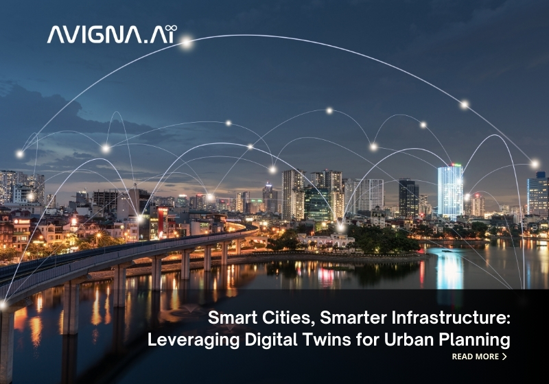
As urban populations rise worldwide, city planners face an immense challenge: how to develop sustainable infrastructure that supports thriving communities for generations to come. Traditional methods need help to keep pace with rapid technological, economic, and climate changes.
As our urban landscapes evolve at warp speed, digital twins may grant a vision of calm in the storm – a means to proactively sculpt sustainable infrastructure and deliberately design human-scaled cities where all may thrive. The future is casting its shadow; will we follow where it leads? Join me as I talk about Digital Twins for Urban Planning in depth in this article.
What are Digital Twins?
In the age of datafication, vast amounts of real-time information are captured from sensors embedded throughout urban systems. Meanwhile, computing power has advanced to process these datasets into virtualized replicas that mirror physical assets.
Known as “digital twins,” these digital doppelgangers dynamically sync with the material world. When applied at an urban scale, they offer an innovative way to test theories and optimize planning without real-world disruption – allowing us to trial the cities of tomorrow and today.
Planning with Digital Twins
Digital twins enable urban planners to build virtual 3D simulations of neighborhoods, districts, and cities. Real-time sensor data capturing traffic flows, pollution levels, energy usage, and more can be integrated to update the digital twin models continuously.
Planners can simulate “what-if” scenarios to test various design concepts before physical construction begins. This allows for evaluating different policy options, infrastructure layouts, and architectural designs without the risks and costs of real-world experimentation.
Errors and inefficiencies can be identified early using digital twins for urban planning. Limited resources can also be allocated more strategically based on simulation results.
Real-World Smart City Examples
Some cities worldwide have already begun leveraging digital twin technology to plan for sustainable growth and improved livability. Here are a few success stories:
Singapore took its planning to new heights by outfitting drones with sensors to map every inch of the island three-dimensionally. The Urban Redevelopment Authority crafted an uncannily precise digital duplicate of the bustling metropolis through their combined efforts. With this virtual replica, they can simulate strategies to optimally utilize every parcel of land. Modeling also reveals how best to fortify infrastructure based on demand forecasts as the population climbs toward a projected 6.9 million peak.
Amaravati, India’s brand-new capital city, is being developed from scratch with a digital twin guiding master planning. Simulations informed the locations of government zones, commercial districts, residential areas, and transport networks to minimize resource usage and greenhouse gas emissions.
Sydney, Australia, deployed sensors citywide to map everything above and below ground level digitally. The resulting 3D twin empowers utilities, emergency services, and more with real-time insights. Simulations helped identify a more climate-friendly distribution of green spaces and sustainable buildings.
These examples demonstrate how Digital Twins for Urban Planning can envision and test innovative solutions, ultimately building smarter and more liveable cities. As technology advances, their potential is only beginning to be realized.
Related: Smart Home Trends You Should Not Miss
The Benefits of Digital Planning
Compared to traditional methods relying on static 2D maps and models, digital twins deliver many advantages for urban infrastructure development:
- Optimization of land use and density to accommodate populations efficiently without overbuilding.
- Early testing of public transport routes and capacities to avoid congestion as cities expand.
- Strategic placement of community resources like schools, hospitals, and green spaces based on predicted demand hotspots.
- Simulation of energy, water, and waste networks to size municipal utilities proportionately and minimize environmental footprint.
- Assessment of disaster response plans, evacuation routes, and critical infrastructure resilience under different emergency scenarios.
- Dynamic traffic modeling is used to propose more innovative road layouts, signaling, electric vehicle charging, and autonomous transit options.
- Real-time adjustments improve the quality of life as urbanization continuously transforms built environments.
Integrating Technologies
To build genuinely immersive and insightful digital twins, key technologies need to be integrated:
- Internet of Things (IoT) – Dense sensor networks precisely capture city functions through real-time data on changes in traffic patterns, energy consumption, pollution levels, etc.
- Geospatial Mapping – Aerial imagery, GIS data, and 3D laser scanning combine to digitally recreate city landscapes with architectural and sub-surface detail.
- Cloud Computing – Centralized pooling of vast computing resources processes sensor datasets into actionable insights.
- Artificial Intelligence (AI) – Machine learning algorithms uncover patterns and optimize simulations based on historical city operational patterns.
- Blockchain – Distributed ledgers maintain access control and data integrity as the departments share simulations and decisions.
Planning Smarter Infrastructure for the Future
As populations grow exponentially worldwide, infrastructure must evolve faster than ever to sustainably accommodate new residents and economic activity and limit environmental impacts. Early-stage digital twin simulations can help envision strategic long-term plans balancing these needs.
For example, as public transit capacity constraints emerge due to increased densities decades from now, digital twins may predict optimal locations for driverless metro lines today. Or simulations modeling sea-level rises by 2100 could guide avoidance of at-risk coastal zones in current development permissions.
Careful, proactive urban master planning leveraging smart Digital Twins for Urban Planning will future-proof our cities through smarter transit-oriented infrastructure as technological or climate change uncertainties unfold.
Creating a shared understanding of long-term goals will also accelerate consensus-based decision-making among multiple agencies, which often need to be revised to align traditionally.
As technology advances rapidly, the detailed representations and predictive analysis possible through digital twins will empower unprecedented strategic urban development far beyond the status quo. Smart cities globally already realize their potential to build future-ready infrastructure through simulation-guided collaborative planning.
A Bright Future Ahead with Digital Twins Technology
Digital Twins for Urban Planning promises to revolutionize how we design, build, and operate our expanding urban infrastructure networks. The ability to foresee impacts decades in advance through iterative “what-if” scenario modeling will future-proof development for uncertainty. Early adopters are already realizing significant cost and time savings through data-driven collaboration aided by these virtual replicas.
As sensing, networking, and computing capabilities progress exponentially, the scale and fidelity of digital twins will continue growing to reshape infrastructure and urban development globally. With careful stewardship, digital twins can help deliver smarter, climate-resilient, prosperous cities for generations to come.
At Avigna, we are fascinated about the possibilities of IoT in transforming the way we live and work. Connect with us at queries@avigna.ai for a consultation with our IoT Experts. Follow us on LinkedIn.


